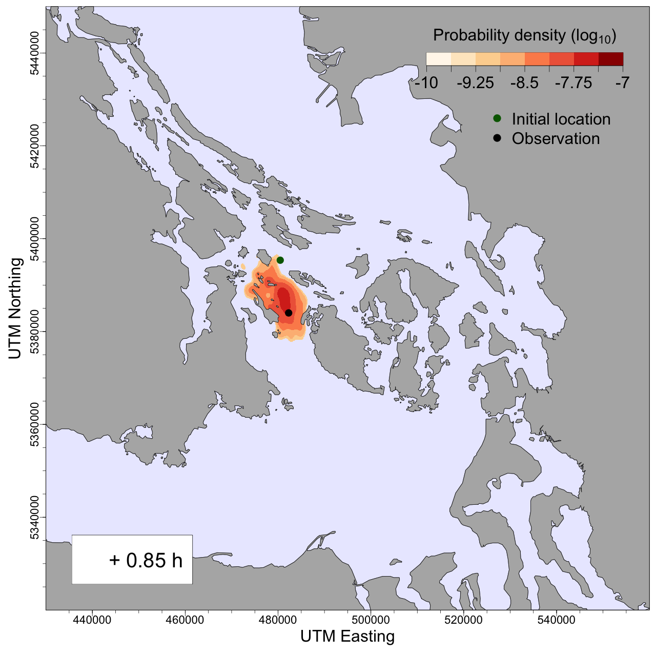
Forecast Models
Our team is also developing models that will ultimately be able to forecast whale locations based on hydrophone detections, visual observations from citizen science groups, and environmental data. This systems promises not only to alert ship captains and shipping ports when a whale is predicted to cross their path—enabling proactive measures to minimize disturbances—but can also serves as a vital tool for researchers and policymakers.
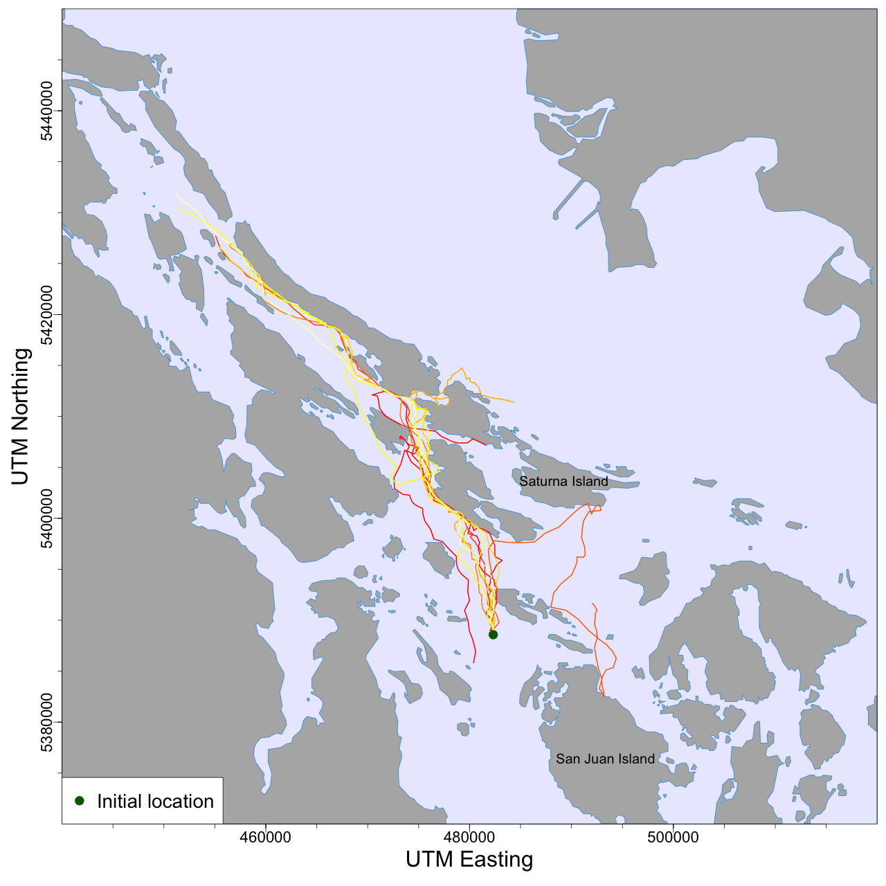
The first version of our model, which currently relies solely on visual sightings, was developed by one of our master’s students, Teng-Wei Lim. This iteration already enables us to predict the future location of SRKW with a high degree of reliability. Incorporating additional data from hydrophone detections and environmental variables will only enhance the accuracy of these predictions. Read more about it in this thesis.